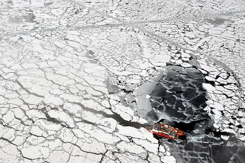
Climate change is not an ideology, as some would have us believe – it is an existential fact. Greenland’s ice cap is melting up to four times faster than it was two decades ago, and if current predictions hold true, by mid-century the Arctic’s seas will be navigable in the summertime. This probability may frighten climate change specialists, but it is good news to those who want to access the High North’s once inaccessible resources (oil, minerals and gas), or to rely upon its shorter and therefore cheaper shipping routes. Indeed, the burgeoning interest of governments and investors in the Arctic guarantees that for better (economic development) and worse (oil spills, shipping accidents, and cultural dislocation), the human footprint will grow exponentially in the region. For those who are ready to kick-start this 21st century ‘gold rush,’ however, here’s an inconvenient question – where’s the infrastructure that is going to support it?
First, let’s begin by stating the obvious – compared to the rest of the world, the broader Arctic region still has almost no infrastructure and what little exists is expensive. Canada’s per-capita transport and communications costs, for example, are 36% higher in the Northwest Territories and 160% higher in Nunavut than in the country as a whole. These costs, driven as they are by the still-extreme climate and extended transport routes, will continue to turn near- and mid-term expectations of large-scale wealth and development into fool’s gold.

