Accurate and timely maps are a vital resource in contemporary disaster and crisis management. Maps are essential for identifying vulnerabilities, monitoring the effects of disasters and organizing countermeasures. Traditionally, the mapping of crises was the exclusive domain of experts, including cartographers and crisis management professionals. But with the growing democratization of information and communications technology, this monopoly is disappearing.
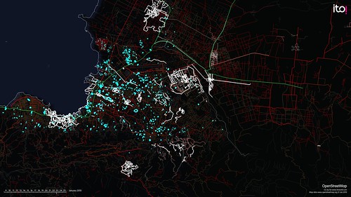
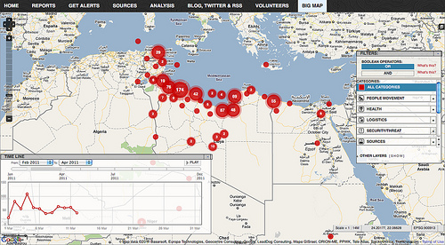
Recent disasters have witnessed a new generation of online maps, created by civil society actors and relying on volunteers to collect, organize, verify, visualize and share geo-referenced information. Prominent examples include the crowdsourced maps created in the aftermath of the Haitian earthquake in 2010 and during Hurricane Sandy in 2012. Although these mapping projects differed in many respects, they had a common aim – to aggregate geo-referenced information from a large number of sources in order to make that information useful for emergency managers as well as those affected by the crisis.

