
For all the criticism about open collaborative projects, these have one unquestionable asset: the speed and efficiency of updates.
In crisis situations such as the Haiti earthquake, this makes all the difference. I’ve been following the developments of OpenStreetMap (OSM) after the first earthquake hit and it’s fascinating. Just check this comparision with Google to convince yourself (play with the transparency in the top right corner).
OpenStreetMap is a worldwide mapping project that anyone can edit. According to their wiki, “the project was started because most maps you think of as free actually have legal or technical restrictions on their use, holding back people from using them in creative, productive, or unexpected ways.”
Mapping data is produced by volunteers who mark roads, buildings, natural features and so on using satellite imagery, a GPS device or just local knowledge.
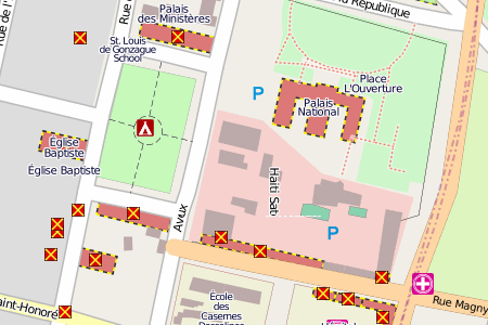
In the case of Haiti, OpenStreetMap data was rather scant before the earthquake. Immediately afterward, volunteers started by tracing roads and streets based on existing satellite images. When new Geoeye and other high-resoultion satellite images became available, they mapped everything from collapsed buidlings to improvised camp sites and cemeteries.
Here is a press release summing up the effort, as well as an animation of the progress over the 12 days after the earthquake (starts at 00:24).
I can very well imagine the value of a detailed and up-to-date digital map if I had to plan rescue and relief operations. From UN agencies to rescue teams on the ground, here is a list of some of those who have relied on OSM.
The OSM community seems to have well understood where their comparative advantage lies: they have constituted a team of “humanitarian mappers.” The results already look impressive: see Gaza, for example, or the biggest slum in Africa.
Because it’s so useful in places where data is scarce or out-of-date, crowdsourcing is highly relevant to IR-related geospatial information.